


Mon Compostelle vingt-neuvième étape

Ardeiserois
User

Length
45 km

Max alt
1357 m

Uphill gradient
1348 m
Km-Effort
63 km

Min alt
619 m

Downhill gradient
1342 m
Boucle
No
Creation date :
2017-02-14 00:00:00.0
Updated on :
2017-02-14 00:00:00.0
9h00
Difficulty : Difficult

FREE GPS app for hiking
 SityTrail
IGN / Geographical institutes
SityTrail Plus
The world is yours!
About
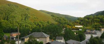
Trail Walking of 45 km to be discovered at Castile and León, Unknown, Vega de Valcarce. This trail is proposed by Ardeiserois.
Description
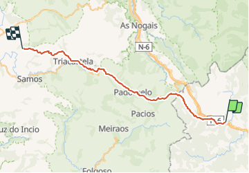
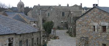
Vingt neuvième étape,mercredi 21 octobre 2009, Vega de Valcarce / Pintin :
Départ :8h00,
Arrivée : 17h00
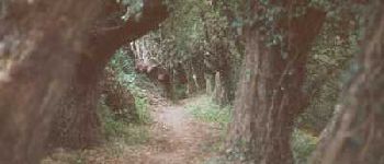
Pluie, pluie,et vent... aucune photo personelle, appareil bloqué sous pancho
Photos


Positioning
Country:
Spain
Region :
Castile and León
Department/Province :
Unknown
Municipality :
Vega de Valcarce
Location:
Unknown
Start:(Dec)
Start:(UTM)
669110 ; 4725859 (29T) N.
Comments